Blue Island, IL
Blue Island, IL is a four-square-mile Cook County city on a glacial ridge at Chicago's southern edge, with a historic Uptown on Western Avenue, six Metra stations on two lines and a summer 2026 median sale price near $239,000.
Living in Blue Island, IL means a median sale price of about $239,000 this summer, Rock Island trains that reach LaSalle Street in about 30 minutes, and property tax near 3.17% of value. The housing runs from 1800s frame houses on the ridge to postwar brick bungalows and small apartment buildings. Here it is, pocket by pocket.
Written by Eshu Chikoti · 847-691-4282 ·
How Blue Island, IL Got Here: From a Ridge Inn to a Railroad Town
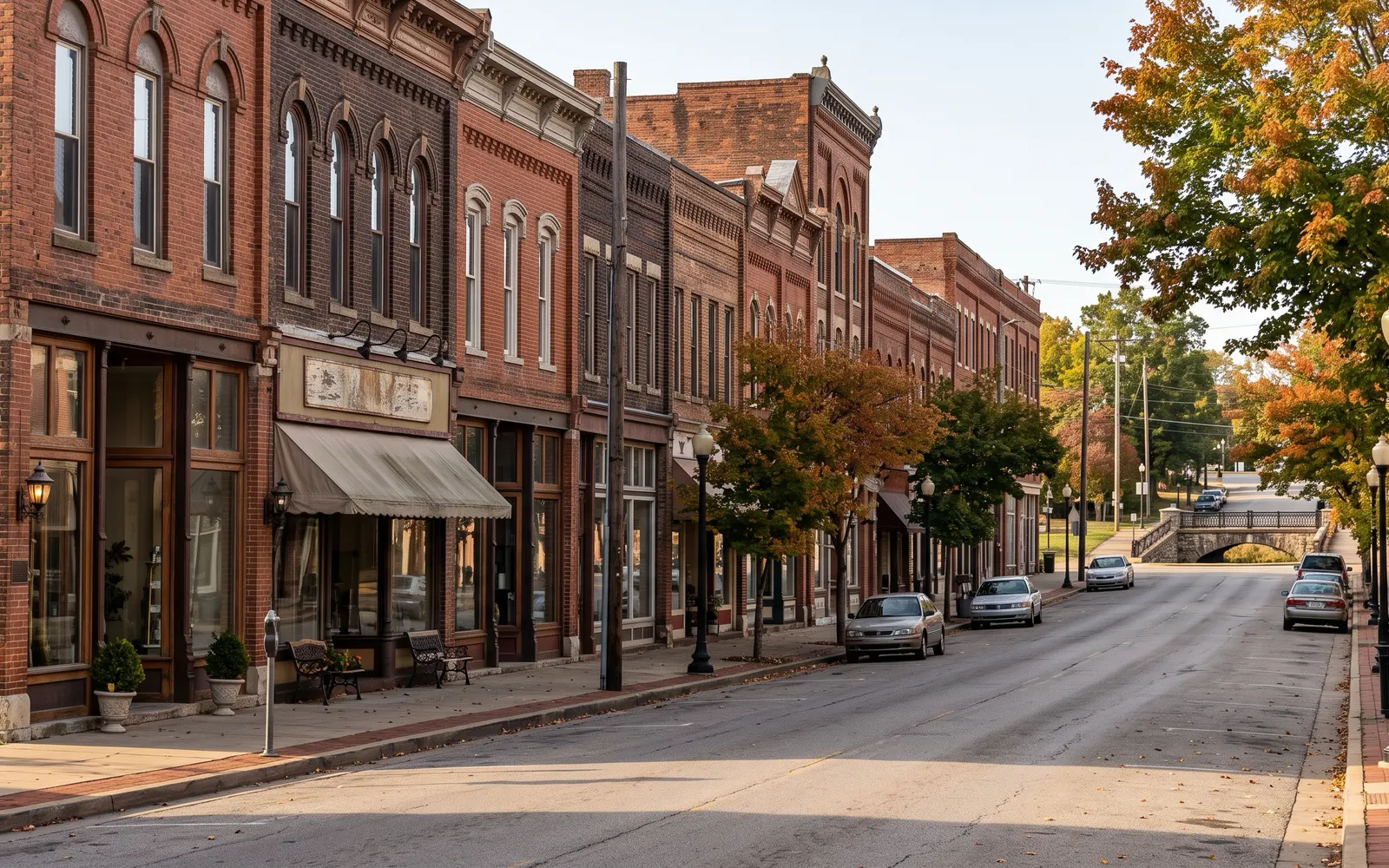
Blue Island is one of the oldest suburbs in Cook County, and its name describes the land. Per Wikipedia's history of the city, the north-central part of the city sits at the south end of a glacial moraine that was once an island in glacial Lake Chicago. Early travelers saw a wooded ridge rising out of the prairie that looked blue at a distance, and the name stuck. A February 1834 Chicago newspaper described it as a table of land about six miles long and two miles wide, rising some forty feet above the plain.
The town grew around an inn. Wikipedia says Norman Rexford opened the Blue Island House in 1836 near today's Western Avenue and Gregory Street, on the Vincennes Trace, a day's travel from Chicago. Western Avenue is still the main street, and in Blue Island it was later part of the Dixie Highway.
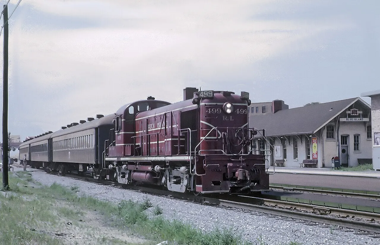
Canals, bricks and railroads built the economy. The city grew in the 1840s with construction of the feeder canal for the Illinois and Michigan Canal, today the Calumet-Sag Channel. Clay around the ridge supported a brick industry from the 1850s that Wikipedia says made Blue Island a leading brick producer by 1900. The Rock Island Railroad arrived in 1852, and its Vermont Street station, built in 1868, is one of the oldest in the Metra system. The Rock Island's car shops came in 1883. In 1894, during the Pullman Strike, federal troops were stationed at the Vermont Street depot after rioting in the nearby rail yards, per the city's landmark tour.
Blue Island incorporated as a village on October 26, 1872, per Wikipedia. A fire in 1896 destroyed much of the commercial district, but it did not cross the feeder canal, and the two blocks south of it survived. That stretch is today's Olde Western Avenue Historic District, which the city created in 1983, per the city's historic district page. The city is one of eleven places in Illinois the White House designated a "Preserve America" community.
Blue Island at a Glance
Blue Island sits about 16 miles south of the Loop and shares its northern boundary with Chicago's Morgan Park neighborhood, per Wikipedia, which lists 4.16 square miles of area. Alsip and Robbins are to the west, Calumet Park to the east, Riverdale and Dixmoor to the south and southeast, and Midlothian and Posen to the southwest. The Calumet-Sag Channel and the Little Calumet River cut across the south side of the city.
The county answer is simple; the township answer is not. The Census Bureau's Vintage 2025 estimates put all 21,805 Blue Island residents in Cook County as of July 1, 2025, but split across four townships: 9,806 in Calumet Township, 9,580 in Worth Township, 1,317 in Bremen Township and 1,102 in Thornton Township. Each township has its own assessment calendar, so two Blue Island houses can be on different reassessment schedules (see the tax section).
Blue Island has a large rental share. The 2020-2024 Census ACS counts 8,997 housing units, with 51.8% of occupied homes owned and 48.2% rented. That rental stock is mostly in two-flats, small apartment buildings and courtyard buildings near Western Avenue and the rail lines.
It is an older industrial town with a lot of land in rail and roads. CMAP's June 2026 community snapshot shows that of 2,660.8 acres in 2023, transportation and other uses took 33.7%, single-family homes 23.9%, industrial 12.5% and open space 9.0%, with 201.7 acres, 7.6%, vacant. It counts 5,034 private-sector jobs in the city in 2025, or 0.59 per household, against 1.07 for Cook County.
At a $239,000 summer median, the range runs from a condo or two-flat unit to a landmark house on the ridge.
Only 3.0% of homes date from 2010 or later. The 3.17% median effective rate is well above the county's 2.14%, and the four-township split means your reassessment timing depends on the parcel. The former hospital site is in limbo, older houses bring old-house inspections, and landmark and district properties need commission review for exterior work.
Blue Island Neighborhoods, Pocket by Pocket
Blue Island has no official neighborhood map. What it has is geography that does the job: the ridge in the middle and north, the canal and river across the south, the Rock Island tracks through the center and Western Avenue running the length of the city. On listings you will see historic district names, subdivision names and street shorthand mixed together.
The easiest way to read the city is north to south. The north end, up to the Chicago line at 119th Street, is served by the Beverly branch stations at 119th, 123rd and Prairie Street and is close to Morgan Park. The middle is the ridge and Uptown, with the Vermont Street station, City Hall, the library and the oldest houses. South of the Cal-Sag Channel, Western Avenue continues toward 139th Street past the Olde Western Avenue district, with the river, the Cal-Sag Trail and newer development at the water.
The first question I ask about any Blue Island house is which township it is in, because that sets the reassessment calendar and part of the tax rate. The second is which station is closest, because the ride to the Loop runs from about 26 minutes to over an hour depending on the line. Boundaries marked single-source should be checked against the MLS, and if you want a specific address placed on this map, that is a conversation I am happy to have here.
Uptown and the ridge. The historic business district on Western Avenue and the blocks around it, with City Hall on Greenwood Avenue, the public library on York Street and the Vermont Street depot. This is where the 1800s and early 1900s houses are, per Wikipedia.
Olde Western Avenue Historic District. A two-block local historic district south of the old feeder canal that survived the 1896 fire, created by the city in 1983, per the city's landmark tour. Redfin groups sales here as "Historic District."
North end (119th to 127th Streets). The Beverly-branch stations at 119th Street, 123rd Street and Prairie Street serve this area next to Chicago's Morgan Park, per Wikipedia's station articles.
West side near the Meadows. The city-run Meadows Golf Club at 2802 W. 123rd Street sits on a former brickyard, per the city's recreation page and Wikipedia.
East side. Centennial Park, an 8.5-acre park with a field house, anchors the east side, and the Metra Electric stations at Burr Oak Avenue and the Blue Island terminal serve it, per Wikipedia.
Fay's Point (single-source). A gated development at the meeting of the Calumet River and the Cal-Sag Channel, which Wikipedia calls the city's newest development. Confirm current status on the MLS.
Blue Island Landmarks and Historic Districts: What the Rules Mean
Blue Island takes preservation seriously, and it affects some buyers directly. The city's historic preservation page says its Historic Preservation Commission was established in 1981 and is recognized by the state as a Certified Local Government. Wikipedia counts 41 individual buildings and one district designated as local landmarks, one building on the National Register of Historic Places, and 22 known Sears kit houses.
The rule is on the city's landmark and district requirements page. The owner of any landmark, or any property inside a historic district, must get a Certificate of Appropriateness from the commission before a building permit is issued. The certificate covers exterior alterations, new construction, demolition in whole or in part, and moving a building. It is not a substitute for a permit; the approved certificate goes to the building department with the permit application.
So before you write an offer on an older house here, ask two questions. Is it a designated landmark, and is it inside the Olde Western Avenue district? If yes, plan any exterior project around commission review. The city's landmark tour lists the designated properties by name, from the 1839 American House to the 1939 Dr. Aaron Heimbach House by Bertrand Goldberg.
There is also money on the commercial side. Within the Western Avenue Business Development District, the city's Business Development Grant Program offers up to $7,500 as a 75% match for eligible exterior work, plus up to $2,000 to fix non-conforming signs, with a $1,000 minimum investment. It applies to storefront buildings, not houses.
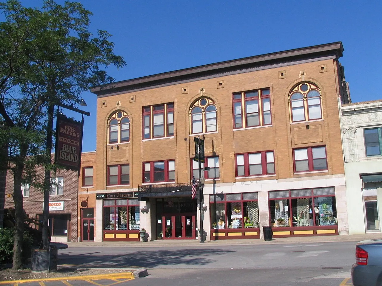
Olde Western Avenue Historic District. Two blocks south of the old feeder canal, created in 1983, including the Jebens hardware store the city says dates to 1876.
Rock Island Vermont Street Depot. Built in 1868, site of the federal troop deployment during the 1894 Pullman Strike.
Joshua P. Young House. Listed on the National Register of Historic Places, per Wikipedia.
Dr. Aaron Heimbach House. A 1939 Bertrand Goldberg design and a city landmark, per Wikipedia.
What Blue Island Homes Look Like, by Type and Era
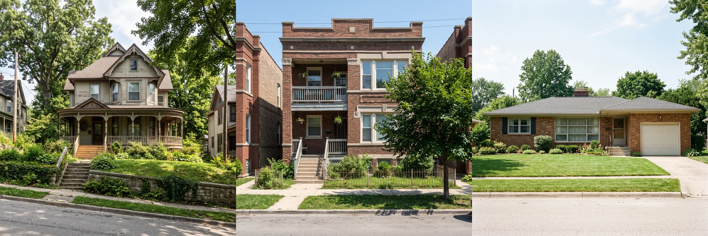
Blue Island's housing is older and more mixed than most suburbs. CMAP's snapshot, built on the 2020-2024 ACS, puts the median year built at 1961, the same as Cook County. Of 8,997 units, 28.8% were built before 1940 and 35.9% from 1940 to 1969. Only 3.0% date from 2010 or later.
The mix is closer to an inner-ring city than a subdivision suburb. Detached single-family homes are 3,990 units, or 44.3%, a little above the county's 39.6%. Two-flats are 7.7%, three- and four-unit buildings 8.2%, and 5- to 9-unit buildings 14.2%, all above the county. Buildings of 20 or more units are only 5.0%, and mobile homes are 5.3%. Townhomes are 4.4%.
Bedroom counts sit in the middle. CMAP counts 23.8% of units with zero or one bedroom, 29.2% with two and 30.5% with three, and 16.4% with four or more. The Census ACS puts the median home value at $178,700 and median gross rent at $1,072 for 2020-2024.
On the street that means 1800s frame houses and Victorians on the ridge, bungalows and brick two-flats from the early 1900s through the 1920s, postwar brick ranches and Cape Cods, and small courtyard and walk-up apartment buildings. Older houses bring an older inspection list: original wiring, galvanized or lead water lines, clay sewer lines, foundations and lead paint in anything built before 1978. The city's water department links a Lead Safe Community resource, so ask what the house has. My home inspection checklist covers what to ask for.
The Blue Island Housing Market in 2026
Blue Island is a moderately paced market with prices edging up. In the three months ending August 2026, Redfin reported a median sale price of $238,792, up 3.8% from a year earlier. Homes sold in about 54 days, down from 71 a year before, and Redfin counts 39 homes sold in August.
The negotiation numbers are more balanced than in the outer suburbs. Homes sold for 97.9% of list price on average in August 2026, down 0.4 points. Redfin gives Blue Island a Compete Score of 45 out of 100, somewhat competitive. Its summary is that the average home sells for about 3% below list and goes pending in about 54 days, while hot homes sell for about 2% above list and go pending in about 37 days.
Zillow's home value index comes in lower. It put the typical Blue Island home at $210,344 in August 2026, up 5.3% from $199,762 in August 2025 and 5.5% from $199,362 in August 2024. The difference is the mix. Zillow estimates every home, including condos and small units. Redfin's median reflects what sold this summer, and with only 39 sales in August, a few houses or two-flats can move it.
For context, Zillow's August 2026 index put Robbins at $120,033, Riverdale at $121,430, Posen at $205,090, Crestwood at $205,052, Midlothian at $241,783, Alsip at $277,225 and Oak Lawn at $301,042. Blue Island sits in the middle of the older south suburbs on price. My guides to Oak Forest and Riverdale cover two neighbors on either side of that range. If you are working out a budget, my guide to how much house you can afford walks through the numbers.
The pattern I see in the data is that condition drives everything here. The spread between a renovated house and one that needs work is wide, and small multi-unit buildings trade as their own market. I price them separately, and I'd tell any buyer to look at what similar homes in similar condition actually sold for.
Blue Island Property Taxes: Four Townships and the 2026 Reassessment
Property tax is a big line in a Blue Island payment. Ownwell's Cook County data for Blue Island, updated April 13, 2026, puts the median effective rate at 3.17% and the median annual bill at $4,549, against a Cook County median of 2.14%. The range is wide: within ZIP 60406, Ownwell's 25th and 75th percentile rates are 2.82% and 3.89%.
The township split is what makes Blue Island different. All of Cook County's south and west suburbs are being reassessed in 2026, but each township gets its notices on its own date. The Assessor's assessment calendar, checked September 28, 2026, shows Bremen Township notices mailed August 12 with appeals closed September 24; Calumet Township notices mailed August 20 with appeals open until October 2, 2026; Worth Township notices mailed September 1 with appeals open until October 15, 2026; and Thornton Township notices not yet mailed. If you own or are buying in Blue Island, find the township on the parcel's record first.
The Assessor's Bremen Township release says the south and west suburbs were last reassessed in 2023 and that "property values certified in 2026 will affect second-installment tax bills issued in 2027." On the three-year cycle, by my arithmetic the next reassessment for these townships is 2029.
The bills you pay now still carry the 2023 values. For tax year 2025, the first installment was due April 1, 2026, and the second is due October 1, 2026, per the Cook County Treasurer. Cook County said on August 18, 2026, that those bills would be mailed September 1, about two months late because of the county's tax system overhaul.
Here is what the rate looks like on a real purchase. At this summer's $238,792 median, 3.17% works out to about $7,570 a year, or about $631 a month. The seller's current bill can be lower, because it reflects the 2023 assessment and the seller's exemptions. Budget off the purchase price. The Cook County homeowner exemption takes $10,000 off the equalized assessed value of an owner-occupied home; the savings equal that $10,000 times your local tax rate.
At closing, Blue Island's cost is an inspection, not a percentage. The city's property inspections page says city ordinance 09048 requires houses, condos and apartments to be inspected before occupancy, and that an Intent to Sell application is required when ownership changes. The ATG ordinance summary, last updated in 2017, lists a seller-paid fee of $100 for a single-family house and more for multi-unit buildings, and says the final water bill and any outstanding liens must be paid. The county adds 25 cents per $500 of value, per the Illinois Department of Revenue, or about $119 at the median. Confirm the current fee with City Hall, and see my Illinois closing costs guide for the rest. This is general information, not tax advice.
Blue Island Schools: District 130 and Eisenhower High School
Most of Blue Island is in Cook County School District 130 for kindergarten through eighth grade and Community High School District 218 for high school. Per Wikipedia's city article, District 130 also serves much of Crestwood, some of Robbins and a small part of Alsip. Parts of the far southeast of the city are in Calumet Public School District 132, and a portion is in Posen-Robbins School District 143½.
District 130's website lists its schools by level. Those Wikipedia places in Blue Island include Lincoln Elementary and Paul Revere Primary for the early grades, Paul Revere Intermediate and Whittier for the middle grades, Horace Mann for pre-K, and Everett F. Kerr and Veterans Memorial middle schools. Which school a house feeds depends on the street, so check every address with the district before you make an offer.
High school for most of the city is Dwight D. Eisenhower High School at 12700 S. Sacramento Avenue. Wikipedia says the high school district dates to 1927, the building on Sacramento opened in 1951, and it was renamed for Eisenhower in 1962. District 218's site also lists Richards and Shepard high schools in neighboring towns, and posts that Eisenhower's new field house and performing arts center are open. Moraine Valley Community College runs a satellite campus on Western Avenue.
I don't rank schools on this page. The Illinois Report Card has each school's own data.
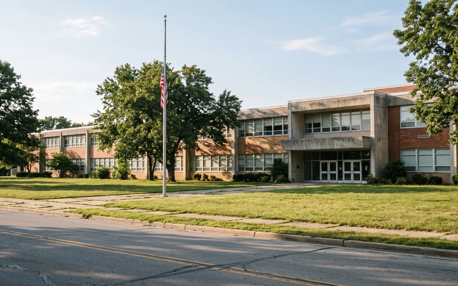
District 130 schools in Blue Island. Lincoln Elementary, Paul Revere Primary and Intermediate, Whittier, Horace Mann (pre-K), Everett F. Kerr Middle and Veterans Memorial Middle, per Wikipedia and the district site.
District 218. Dwight D. Eisenhower High School, 12700 S. Sacramento Avenue.
Other districts for some addresses. Calumet Public School District 132 and Posen-Robbins School District 143½, per Wikipedia.
Higher education. Moraine Valley Community College's satellite campus at 12940 S. Western Avenue, per Wikipedia.
Commuting from Blue Island: Six Metra Stations on Two Lines
Blue Island has more commuter rail than almost any suburb its size. Wikipedia counts six Metra stations in the city: Blue Island-Vermont Street on the Rock Island main line; 119th Street, 123rd Street and Prairie Street on the Rock Island's Beverly branch; and on the Metra Electric Blue Island branch, the Blue Island terminal across the street from the Vermont Street depot and Burr Oak at Burr Oak Avenue and Lincoln Street.
Vermont Street is the one to know. According to Metra's schedule data for the week of September 28, 2026, 39 weekday trains leave Blue Island-Vermont for LaSalle Street and 39 come back. Main-line trains take 26 to 31 minutes, and trains routed over the Beverly branch take 40 to 45. Saturdays and Sundays have 20 trains each way. It is in fare zone 2.
The other stations serve narrower needs. 119th Street has 20 inbound weekday trains at 37 to 39 minutes, with 10 on weekends. 123rd Street and Prairie Street have 7 inbound weekday trains each, all in the morning, at 40 to 43 minutes. On the Metra Electric branch, Blue Island and Burr Oak have 13 inbound weekday trains to Millennium Station, most taking 61 to 66 minutes, with 4 on Saturdays and none on Sundays.
The census shows most people still drive. CMAP's snapshot has 68.6% of Blue Island workers driving alone, 11.9% carpooling, 7.5% taking transit and 8.2% working from home, with an average commute of 29.0 minutes. Pace buses run on Western Avenue, 127th Street and other main roads; check Pace for current routes.
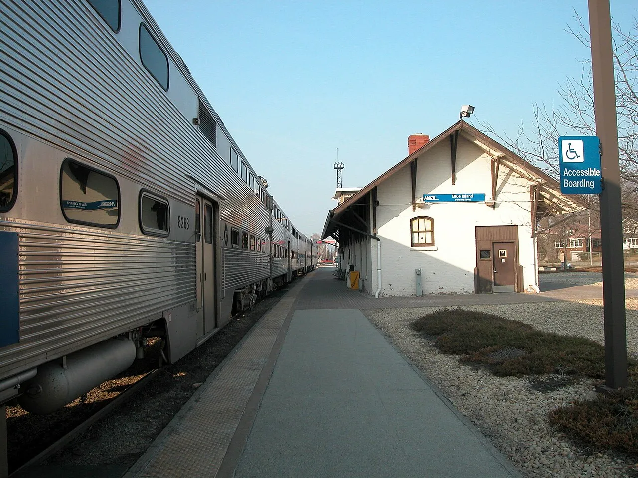
Blue Island-Vermont Street (Rock Island). 39 inbound weekday trains; 26 to 31 minutes on main-line trains; 20 each way on weekends.
119th Street (Beverly branch). 20 inbound weekday trains, 37 to 39 minutes; 10 on weekends.
123rd Street and Prairie Street (Beverly branch). 7 inbound weekday morning trains each, 40 to 43 minutes.
Burr Oak and Blue Island (Metra Electric). 13 inbound weekday trains to Millennium Station, most 61 to 66 minutes; 4 on Saturdays; no Sunday service.
Driving from Blue Island: I-57, the Tri-State and Western Avenue
Blue Island is between two interstates. Wikipedia places the city half a mile west of Interstate 57 and a mile and a half east of the Tri-State Tollway, I-294, and puts it 12.5 miles from Midway Airport and 34 miles from O'Hare. I-57 runs north to the Dan Ryan and downtown Chicago.
Western Avenue is the spine. It runs the length of the city, through Uptown and across the Cal-Sag Channel, and in Blue Island it was part of the historic Dixie Highway. 127th Street, Vermont Street and 119th Street carry east-west traffic, and the canal and rail lines mean a few crossings carry most of the load.
Plan around two things. The city is rebuilding Western Avenue. A September 8, 2026 city notice says the project from 127th Street to Grove Street will replace sidewalks, curbs, driveways and lighting, add bumpouts, crosswalks and parkway trees, update parking and resurface the road, with a public open house on October 6, 2026, from 4 to 7 p.m. at the City Hall East Annex, 2434 Vermont Street. And rail crossings matter: the Riverdale village site noted Pace detours in August 2026 during Metra crossing repairs at Vermont Street.
Is Blue Island Walkable?
More than most south suburbs. Walk Score gives Blue Island an average of 63, somewhat walkable, and says some errands can be done on foot. Redfin's Blue Island page shows the same 63 with a Transit Score of 45 and a Bike Score of 46.
The reason is the old layout. Blue Island was built around a main street, a train depot and a grid of small lots before cars, and Uptown still works that way. Walk Score counts about 80 restaurants, bars and coffee shops in the city. From the ridge around Uptown, the Vermont Street station, the library, City Hall and Western Avenue's shops are all within a few blocks.
The trail system adds to it. The Cal-Sag Trail, which the Forest Preserves list for Alsip, Blue Island, Calumet City, Dolton, Lemont, Palos Heights and Riverdale, is a paved multi-use path along the channel. The walkability drops off in the industrial and rail-heavy parts of the city, so check the actual walk from any house you are serious about.
Shopping in Blue Island: Uptown and the Western Avenue Corridor
Blue Island shops along Western Avenue. The city's Western Avenue Business Development District runs from 119th Street to 135th Street along Western, plus Vermont Street between Division Street and Greenwood Avenue, and properties on Olde Western Avenue also sit in a local historic district. Business owners there can apply for the facade grants described above.
Uptown's character comes from its long-running businesses. Wikipedia names Jebens Hardware, founded in 1876, DeMar's Restaurant, open since 1950, and Krueger Funeral Home, founded in 1858, as businesses that have served the area for generations, and describes Uptown today as known for antique stores, art galleries and restaurants. Through the 1970s it was a regional shopping district with Sears, Montgomery Ward and Woolworth's.
The numbers show a smaller retail base now. CMAP's snapshot, using Illinois Department of Revenue data, shows about $219 million in retail sales in 2025, or $10,057 per resident, against $23,200 for Cook County. Of $338 million in equalized assessed value in 2024, about $244 million was residential and about $84 million commercial and industrial combined. The bigger-box shopping is along Cicero Avenue in Alsip and 127th Street.
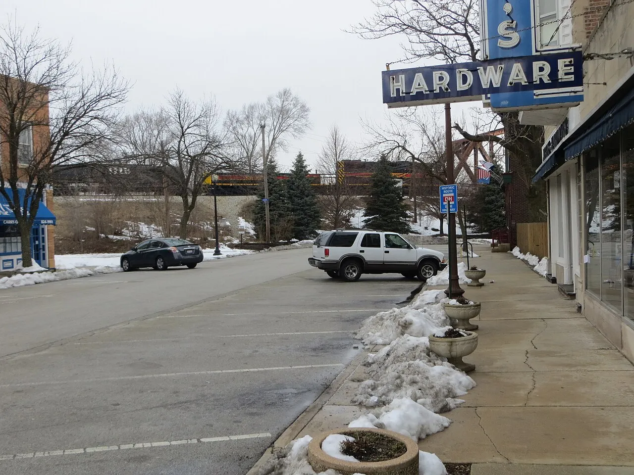
Groceries and Everyday Errands in Blue Island
The chain grocery store inside the city is Aldi at 12215 Western Avenue, on the north end. Beyond that, most full-size supermarkets are a short drive into Alsip, Crestwood or Chicago's Morgan Park and Beverly, and Uptown has smaller markets and delis.
Everyday services are close together in Uptown. City Hall is at 13051 Greenwood Avenue, the library at 2433 York Street, and the post office, per Wikipedia, is a 1914 building across from City Hall. For health care, Cook County Health runs the Blue Island Health Center at 12757 S. Western Avenue with primary care and other outpatient services.
If you are buying on the south side of the Cal-Sag Channel, check the drive to groceries on the map. The canal crossings and rail lines make some trips longer than they look.
Where Blue Island Eats
Walk Score counts about 80 restaurants, bars and coffee shops in Blue Island, many of them on Western Avenue in and around Uptown. For a city of about 22,000, that is a lot of places you can walk to from the ridge.
Some are institutions. Wikipedia dates DeMar's Restaurant on Western Avenue to 1950. The city's Island Cruise page mentions Blue Island Beer Co., whose lot hosted the event's motorcycle area. Blue Island had several breweries until Prohibition, per Wikipedia, which stored beer in the east side of the hill before refrigeration.
I don't try to list every restaurant, because the list changes every year. The best advice I give buyers is to eat near each house you are serious about. It is the fastest way to learn which part of town you would use day to day.
Parks, the Cal-Sag Trail and the Meadows in Blue Island
The city's recreation page says the Blue Island Park District manages 10 public parks on 112 acres. CMAP counts 239.2 acres of open space, 9.0% of the city's land, in 2023, which includes the golf course and channel-side land.
Memorial Park is the flagship. Per Wikipedia, it was dedicated in 1922, reached its present 10 acres by 1935 and has an outdoor pool and playground; it is also where the city holds its Fourth of July celebration. Centennial Park on the east side is 8.5 acres with a field house and athletic fields. The city-owned John D. Rita Recreation Center at 2805 W. 141st Street, managed by the park district, has a gym and study space, per the city's facility page.
Golf and trails round it out. The city-run Meadows Golf Club at 2802 W. 123rd Street is an 18-hole course with a lighted driving range, and Wikipedia says it opened in 1994 on a former brickyard. The Cal-Sag Trail is planned to run 26 miles from Lemont to the Burnham Greenway near Indiana; the Forest Preserves list an estimated 26.8 paved miles and say the first 13 opened in June 2015. The city also has two community gardens.
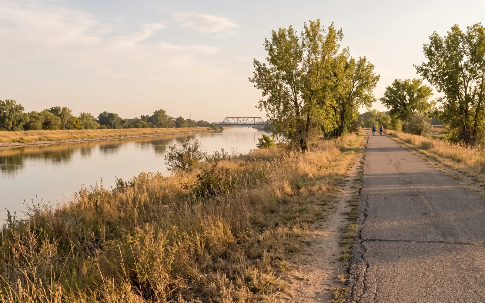
The Blue Island Public Library
The Blue Island Public Library is at 2433 York Street in Uptown. Its posted hours are 9 a.m. to 9 p.m. Monday through Thursday, 9 to 5 Friday and Saturday, and 1 to 5 on Sunday, with Sundays closed in summer.
It has a long history. Per Wikipedia, the library became a taxpayer-supported institution in 1897, moved into a Carnegie-funded building in 1903 and opened its current building in 1969. It is a member of the Reaching Across Illinois Library System and hosts the Blue Island Historical Society's Museum Room.
For a buyer researching an old house, the Museum Room is worth a visit. It is where to look for old photos of a block, and that can help with any landmark question before you plan changes.
Utilities and City Services in Blue Island
Blue Island drinks Chicago's water. The city's water and sewer page says the City of Chicago supplies its water and links Chicago's consumer confidence report, the city's 2025 water and sewer rates and a Lead Safe Community resource. The same page says Blue Island has a combined sewer system and publishes a combined sewer overflow notification plan under its federal permit, with overflow monitoring by the Metropolitan Water Reclamation District.
Trash and recycling go through Lakeshore Recycling Systems, per the city's page. Each home gets a 95-gallon trash cart collected weekly and a 95-gallon recycling cart collected every other week, and carts must be out by 7 a.m. The city bills residential service.
At sale, the city inspects. As the tax section notes, a point-of-sale inspection is required before occupancy under ordinance 09048, and the final water bill must be paid. Schedule the inspection early; repairs it turns up can affect the closing date.
Health Care in Blue Island After MetroSouth
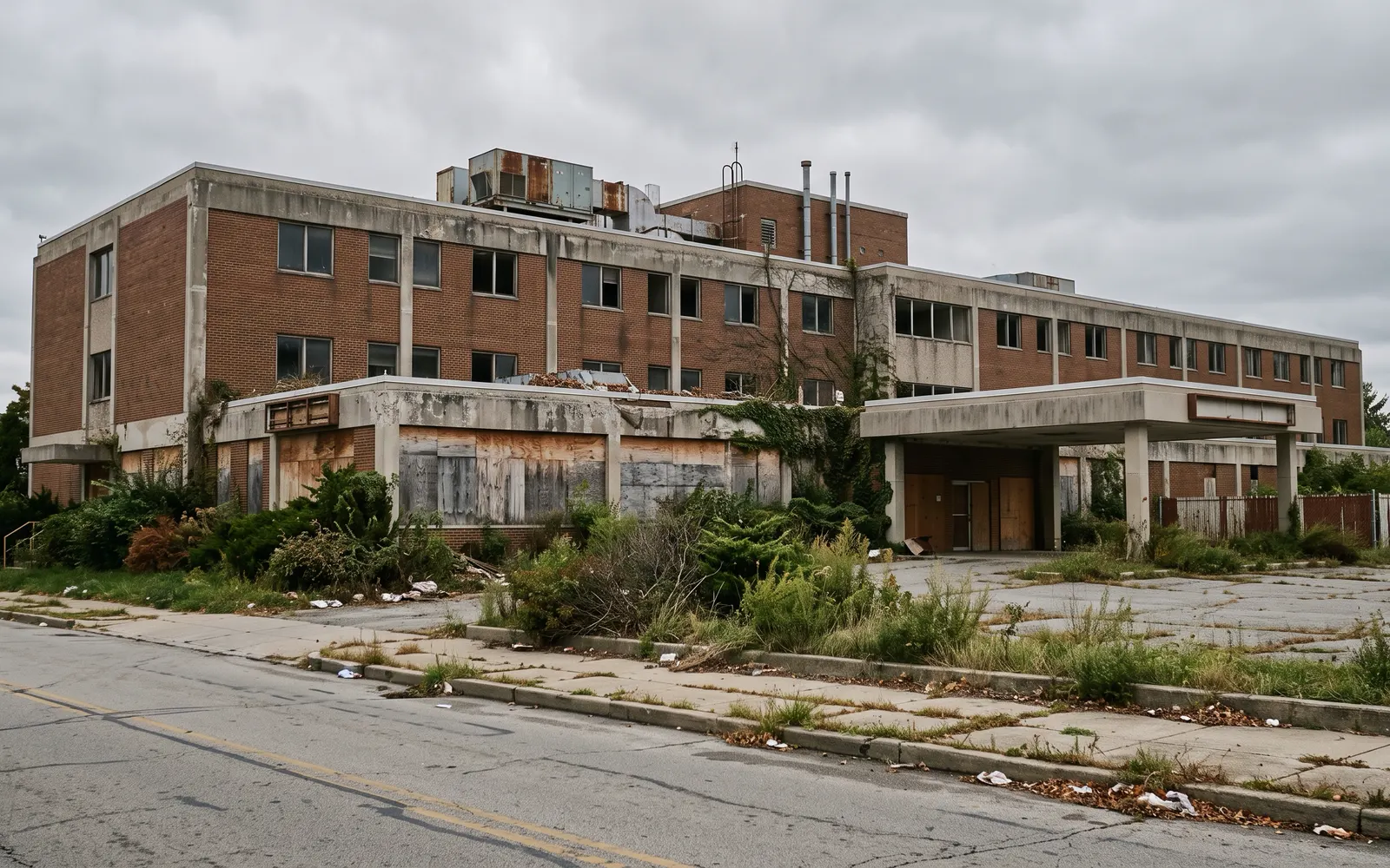
Blue Island lost its hospital in 2019. Wikipedia says St. Francis Hospital, founded in 1905 and later MetroSouth Medical Center, closed that year citing low patient volume. Many directories still list it. Don't count on it for emergency care.
Outpatient care is still here. Cook County Health's Blue Island Health Center at 12757 S. Western Avenue offers primary care, behavioral health and other services. The Daily Southtown reported in February 2025 that Cook County's outpatient services from the old Oak Forest campus moved to Blue Island in June 2020.
For a hospital emergency room, the nearest options are in neighboring communities and on Chicago's South Side. Check drive times from the specific address you are considering.
The Fourth of July, the Light Parade and Blue Island's Yearly Calendar
The biggest civic day is the Fourth. The city's Fourth of July page describes a noon parade heading south on Western Avenue from Prairie Street to Grove Street, then an afternoon celebration at Memorial Park, 12804 Highland Avenue, from 3 p.m. with vendors, food and music, and fireworks at dusk.
Winter has its own parade. The city's Light Parade page lists Saturday, December 5, with activities from 2 p.m., a Kringle Mart from 2 to 9 p.m., a tree lighting at York and Western at 4:30 p.m. and the parade down Western Avenue from Prairie to Grove at 5:30 p.m.
Summer adds a car show. The city's Island Cruise filled Olde Western Avenue with cars and motorcycles on Saturday, July 12, 2025, from noon to 4 p.m.; watch the city site for the next date. If you are touring houses on one of these days, go. It tells you more about a block than a listing will.

What's Changing in Blue Island: MetroSouth, Western Avenue and the Waterfront
The biggest open question is the old hospital. Block Club Chicago reported on April 28, 2026, that the 12.5-acre former MetroSouth Medical Center site at 12935 Gregory Street is now owned by Builders Capital, which took it after calling in a $44 million note on the previous developers, and that the owner plans to demolish the hospital and build a data center. The city administrator said at an April 14 council meeting that no preliminary concept had been submitted and that the city wanted a transparent process. Nothing has been approved. If you are buying near Gregory Street and Uptown, watch this one.
The second change is the street itself. The city's September 8, 2026 notice describes a rebuild of Western Avenue from 127th Street to Grove Street, with new sidewalks, curbs, lighting, crosswalks, parkway trees and resurfacing, and an open house October 6, 2026. Western Avenue from 119th to 135th Streets is also a Business Development District, which funds facade grants for storefronts.
The trail and the water are the third. The Cal-Sag Trail runs along the channel through the city, and the Forest Preserves say its eastern portion toward Riverdale is not complete. CMAP counts 201.7 vacant acres in the city in 2023, more than most built-out suburbs, so more infill is possible over time.
I don't label any town or neighborhood as safe or unsafe.
Flood and Basement Water Risk in Blue Island
Blue Island has water on its south side and old sewers underneath, so flooding is worth a real look. Redfin, using First Street's model, rates Blue Island's flood risk as minor and says 10% of properties are at risk of severe flooding over the next 30 years.
The risk has two sources. The Calumet-Sag Channel and the Little Calumet River cross the south side, and the city's water and sewer page confirms a combined sewer system, where storm water and sewage share pipes. In heavy rain that can mean basement backups on the ridge as well as near the water. The ridge itself sits higher than the plain around it, which is part of why the town was built there.
Three checks before you write an offer. Look the address up on the FEMA flood map, especially south of the channel. Ask the seller directly whether the basement has ever taken water. And have the inspector look at the sump pump, any overhead sewer or backflow valve, the grading and the sewer line to the street, ideally with a camera.
Frequently Asked Questions
Is Blue Island, IL in Cook County?+
Yes. Census Bureau estimates for July 1, 2025, put all 21,805 residents in Cook County, split across Calumet, Worth, Bremen and Thornton townships. The township sets the reassessment calendar for each parcel.
How much does a house cost in Blue Island, IL?+
Redfin reported a median sale price of $238,792 for the three months ending August 2026, up 3.8%, with homes selling at 97.9% of list in about 54 days. Zillow's home value index was $210,344 for August 2026, up 5.3%.
What are property taxes in Blue Island, IL?+
Ownwell (April 2026) puts the median effective rate at 3.17% with a median bill of $4,549, against 2.14% for Cook County. All four townships are being reassessed in 2026, and the assessor says 2026 values affect second-installment bills issued in 2027.
Does Blue Island have a transfer tax or point-of-sale inspection?+
The city requires a point-of-sale inspection before occupancy under ordinance 09048 and an Intent to Sell application when ownership changes. ATG lists a seller-paid inspection fee starting at $100 for a single-family house, plus a paid final water bill. Confirm current fees with City Hall.
What school district is Blue Island, IL in?+
Most of the city is in Cook County School District 130 for K-8 and District 218 for high school at Eisenhower High School. Parts of the southeast are in District 132 and a portion in Posen-Robbins District 143½. Confirm each address with the district.
How long is the train from Blue Island to Chicago?+
From Blue Island-Vermont Street, Rock Island main-line trains reach LaSalle Street in 26 to 31 minutes, with 39 inbound weekday trains in fall 2026. Beverly-branch trains from 119th Street take 37 to 39 minutes, and Metra Electric trains take about an hour to Millennium Station.
Is Blue Island walkable?+
Somewhat. Walk Score rates Blue Island 63 (somewhat walkable), with a Transit Score of 45 and a Bike Score of 46, and counts about 80 restaurants, bars and coffee shops. Uptown on Western Avenue is the most walkable part.
What is happening to the MetroSouth hospital site?+
Block Club Chicago reported in April 2026 that the owner, Builders Capital, plans to demolish the closed hospital at 12935 Gregory Street and build a data center. As of that report, no concept had been submitted to the city, and nothing has been approved.
What neighborhoods are in Blue Island, IL?+
Blue Island has no official neighborhoods. Common ways to describe it are Uptown and the ridge, the Olde Western Avenue Historic District, the north end near the Beverly-branch stations, the west side near the Meadows Golf Club, the east side and the area south of the Cal-Sag Channel.
Eshu Chikoti has extensive access to off-market listings throughout Blue Island and the rest of Cook County — homes that never make it to the public listing sites. That matters right now: in a seller's market like this one, well-priced homes routinely go under contract within days, and buyers relying only on public listings are competing for whatever is left over. Working with someone plugged into off-market inventory means seeing homes before the crowd does.
Eshu Chikoti · 847-691-4282 ·
Get new Blue Island listings by email
When a home comes on the market in Blue Island, I'll email it to you.
Just your email. Unsubscribe any time by replying.
Thinking About Blue Island?
Whether you're buying, selling, or just curious what's on the market, I can walk you through Blue Island street by street.